Separate site-selection research
What if the beekeeper has several possible next sites?
This earlier, single-site report explores how environmental information could help prioritize a field visit. It is separate from the Alberta pollination coordination pilot.
For one beekeeper-provided candidate location, the report ranked nearby directions for a field check. It did not select a place to move colonies automatically.
What the prototype produced
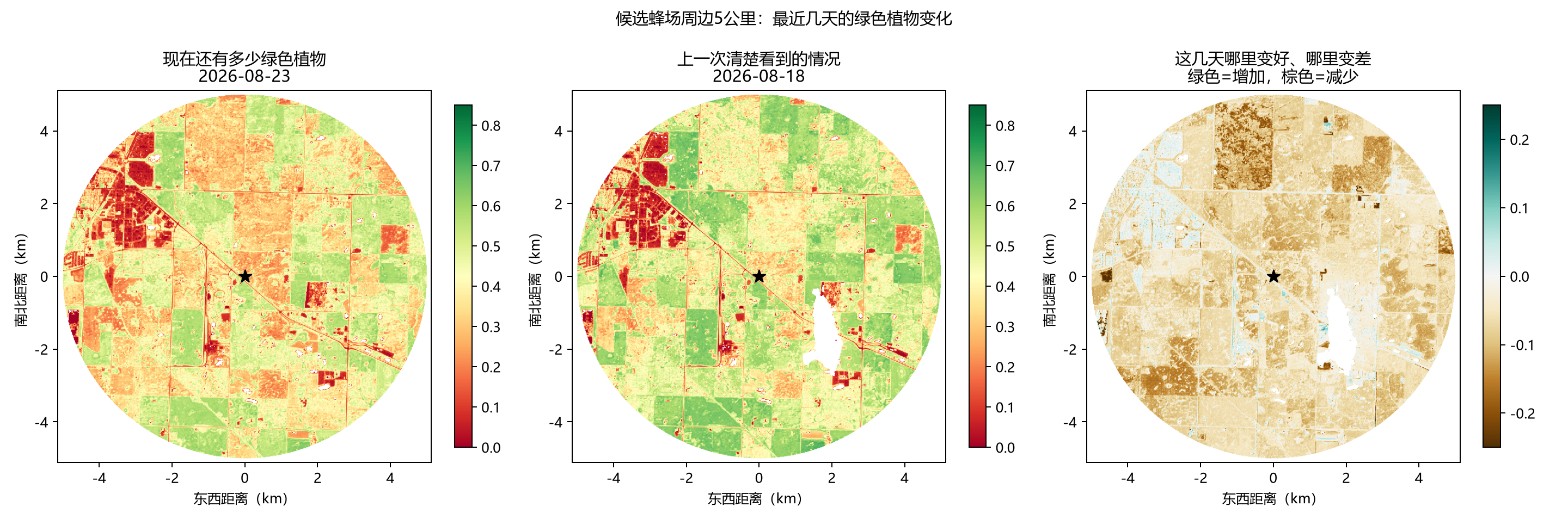
The report brought together recent vegetation comparisons, four years of Canadian crop history and a five-day weather screen. It asked a practical question: where should the beekeeper look first before deciding on a new bee yard?
Past canola context
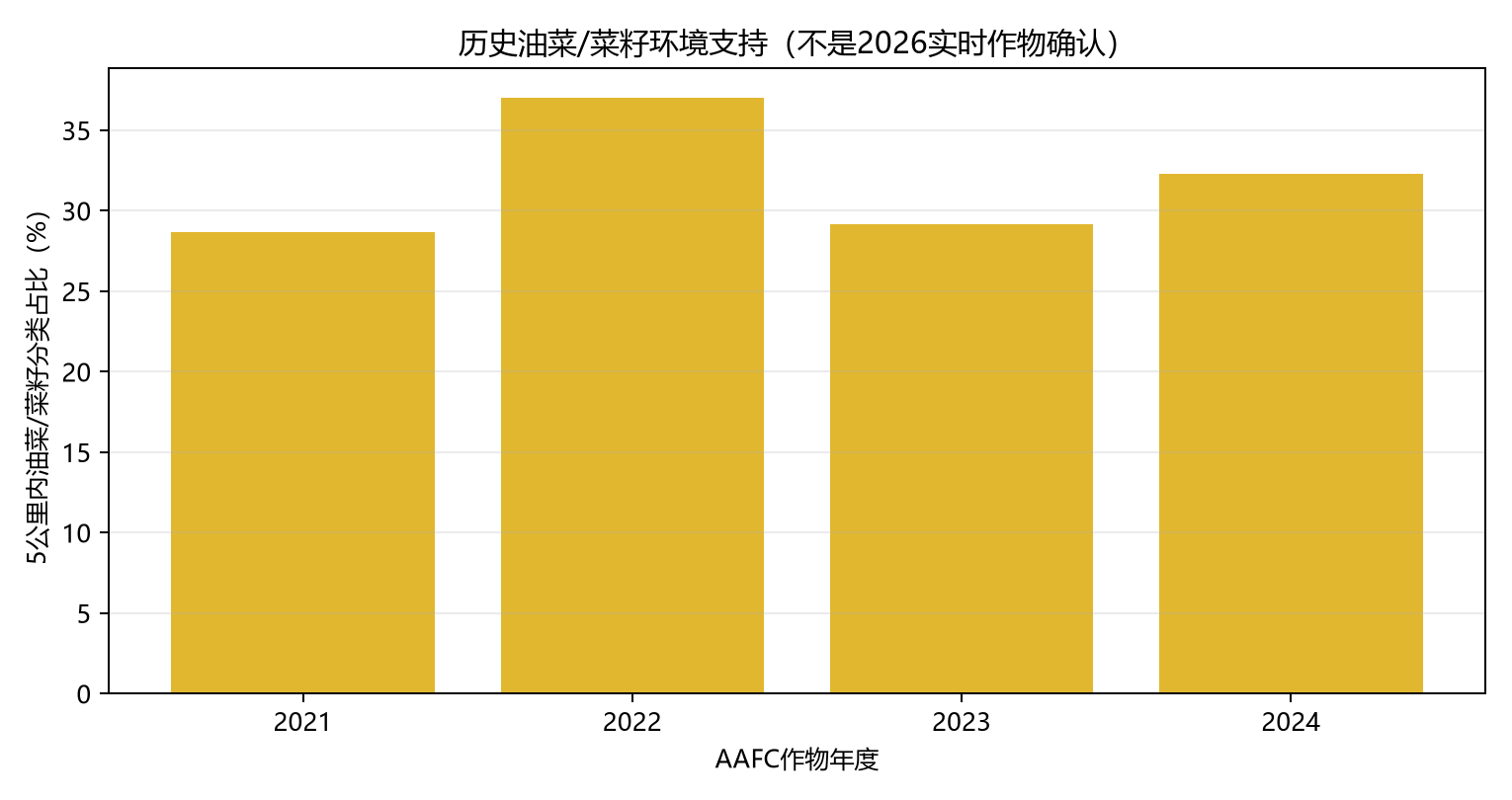
Historical crop maps classified approximately 29%, 37%, 29% and 32% of the five-kilometre area as canola or rapeseed in 2021–2024. That history may help identify an area worth investigating. It does not confirm the current crop or bloom.
How this relates to the Alberta pilot
The pilot's first question is when pollination colonies can be retrieved and whether a crew can reach them. Choosing a next site is a separate question that may follow retrieval. We want beekeepers to tell us whether they already have fixed destinations or would benefit from comparing candidate places.
Would this help after retrieval?
Tell us how you choose the next location for colonies leaving a pollination crop.
Email your experience ↗